― Experience
Aerial & Ground Media Services
That Make Listings Sell, Projects Get Documented, & Businesses Get Noticed
01
Weak Visuals
Are Quietly Costing You
If What You're Offering Looks Average Online, It Gets Treated Like It's Average
Your
Property, Project, or Brand Deserves More Than
a Smartphone Shot
Lost Deals
Buyers scroll past flat listings. Investors underestimate undocumented projects. Businesses disappear into generic content. The problem isn't what you're offering — it's how it's being seen.
Most providers hand you photos or a basic clip and call it done. In a competitive market, incomplete is the same as invisible.
Missed Attention
02
OUR Services
The VisualEdge
That Gets Listings Sold, Projects Funded, and Brands Noticed
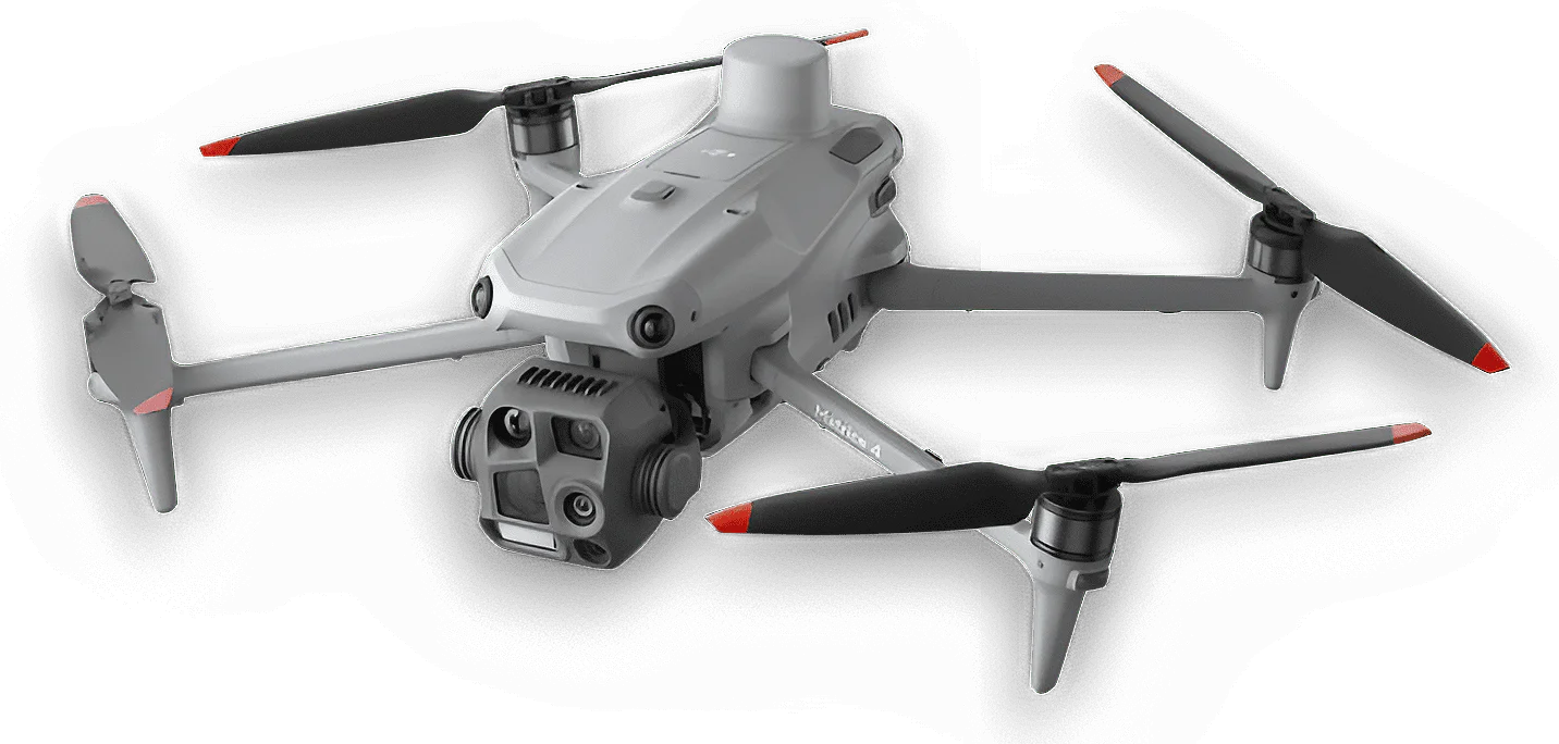
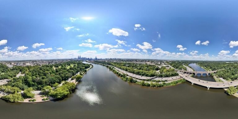
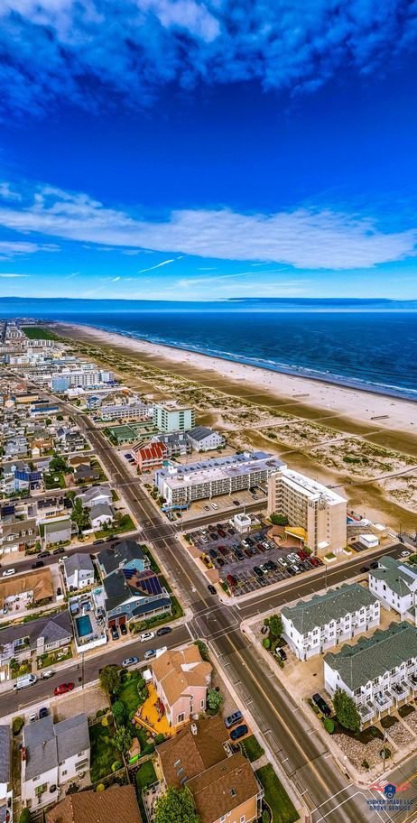
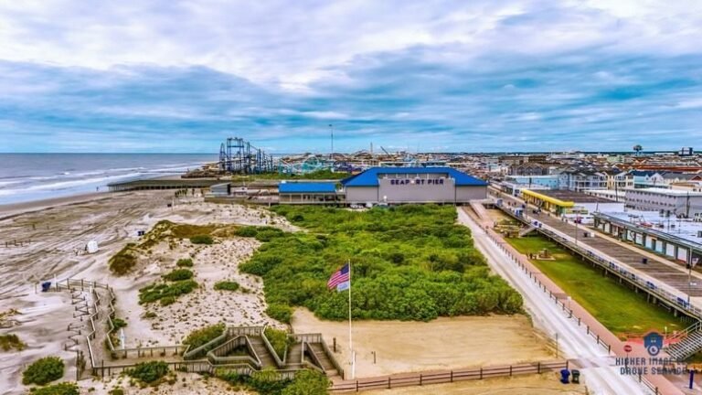
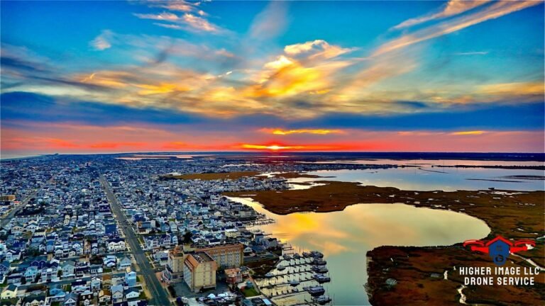
Professional Equipment. Cinematic Storytelling. Advanced Aerial Data.
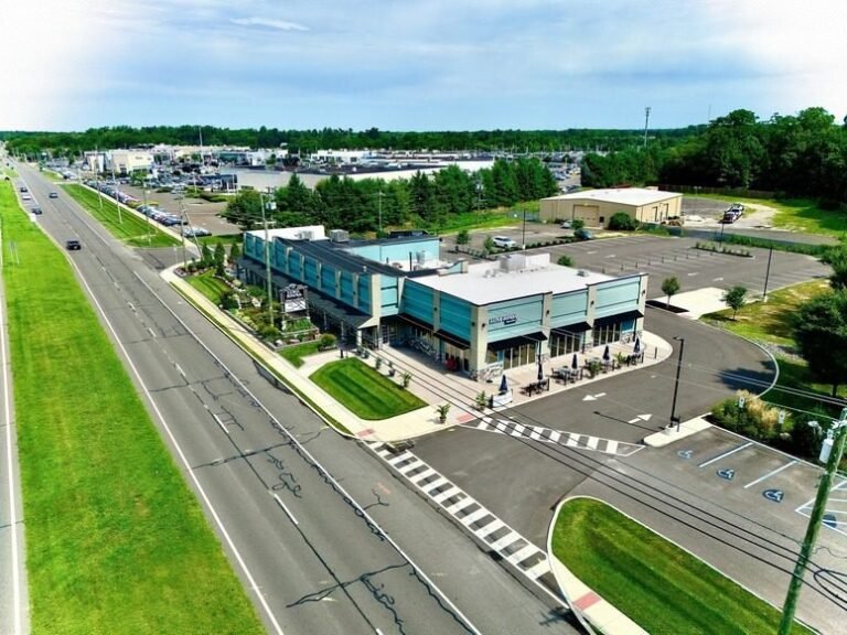
Full Coverage Services
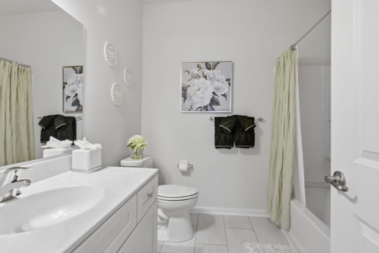
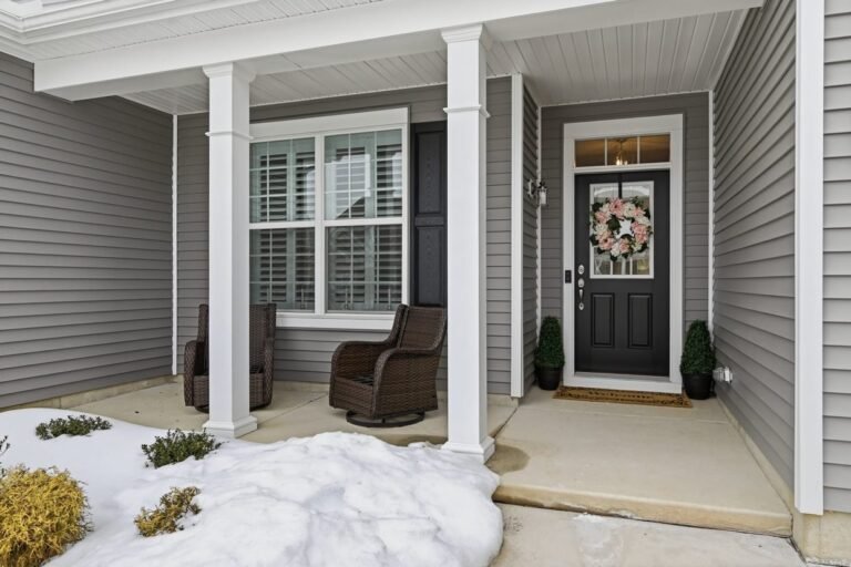
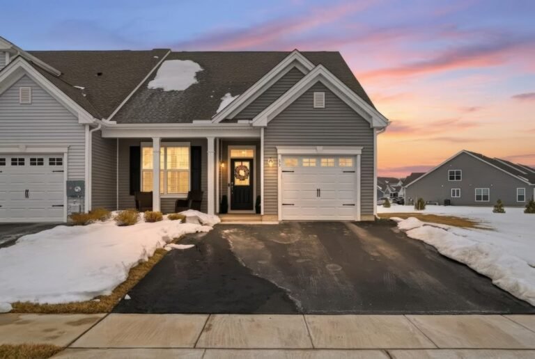
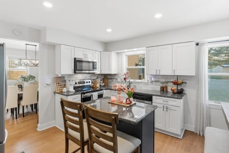
01
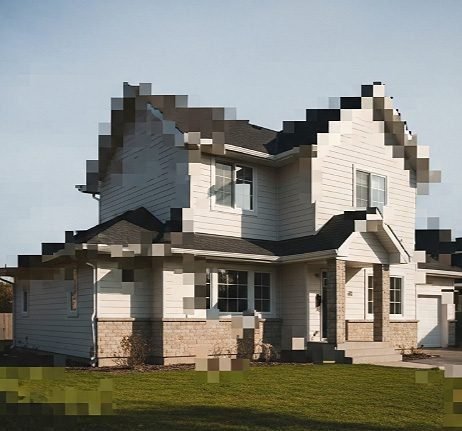
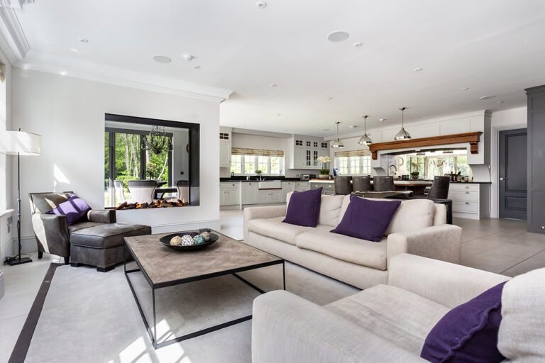
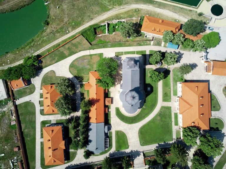
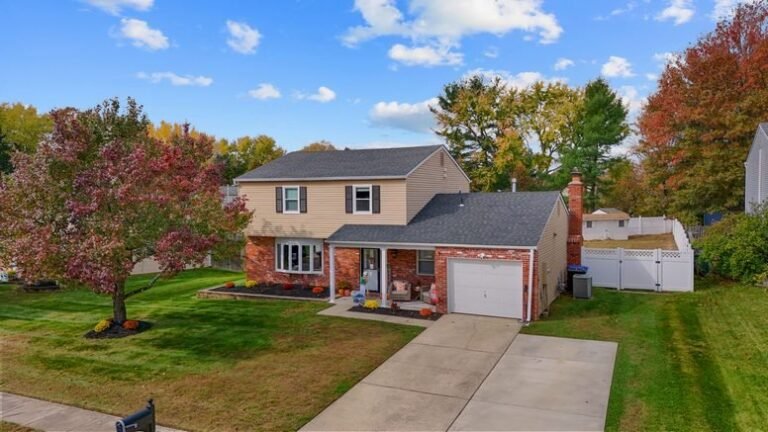
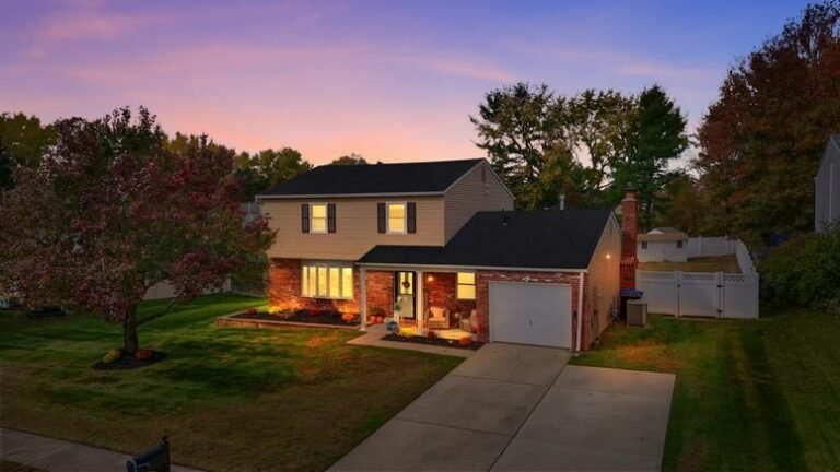
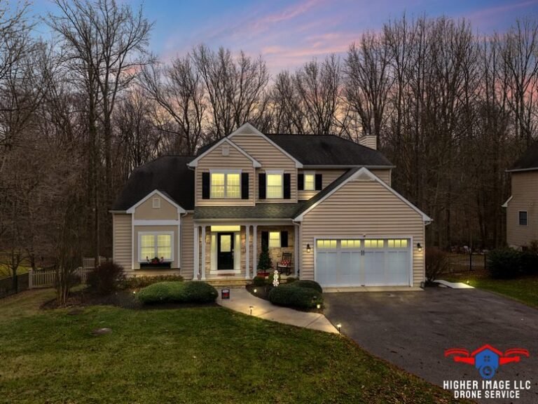
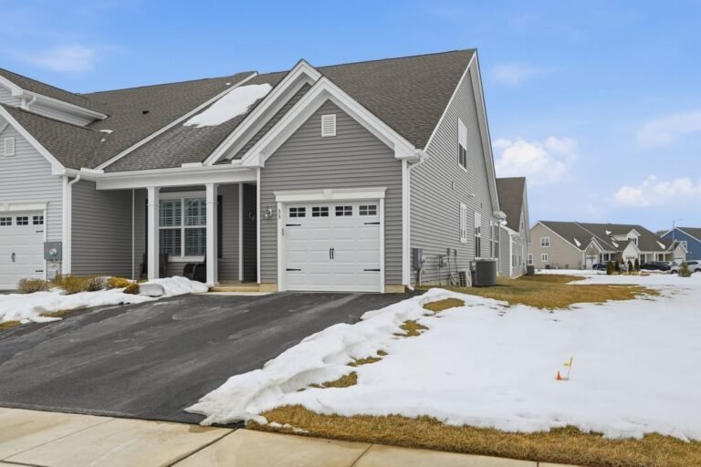
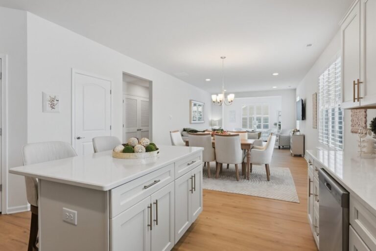
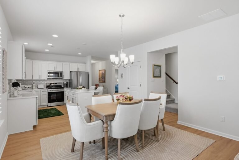
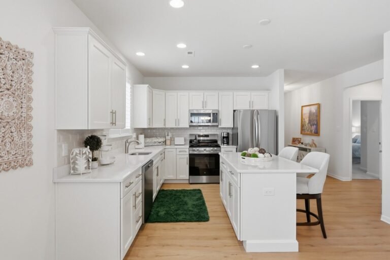
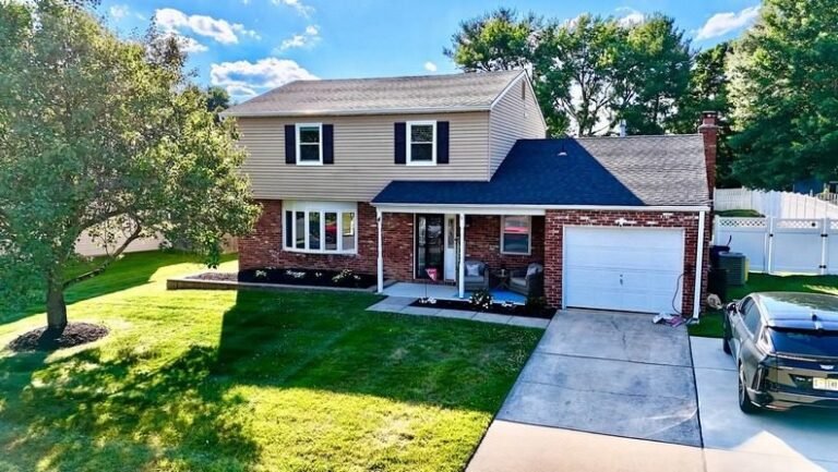
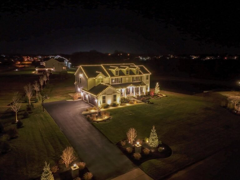
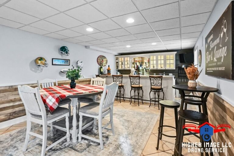
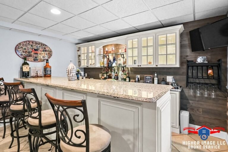
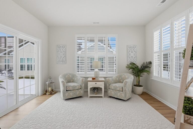
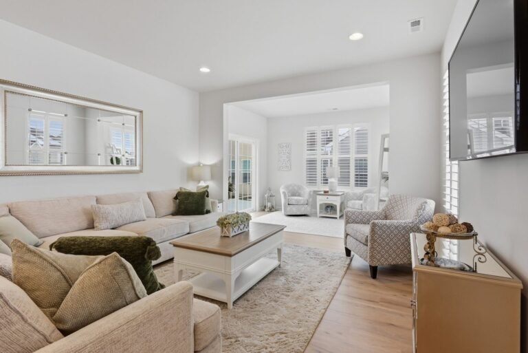
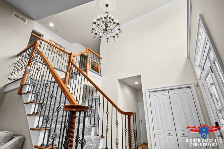
Interior & exterior
real estate photography
―
Your listing will look like it belongs at the top of the market — not buried in it.
Built for the Professionals
Who Can't Afford to Be Overlooked
& For Markets Where First Impressions Decide Everything
Competitive Edge
Proven Outcomes
01
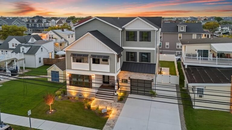
Real Estate Agents, Teams & Brokerages
— Listings with professional photos sell 32% faster. Properties marketed with video get 403% more inquiries. Drone photography drives significantly more engagement. Your next listing deserves stronger marketing materials and the visibility to match.
02
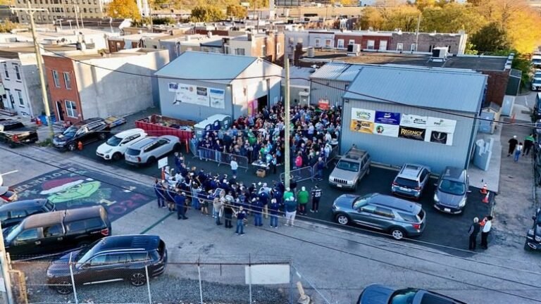
Construction Companies, Developers, Engineering Firms & Project Managers
— Stakeholders and investors want proof of progress. Photogrammetry mapping and progression documentation provide the visual record that builds confidence and keeps decisions moving.
03
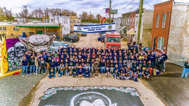
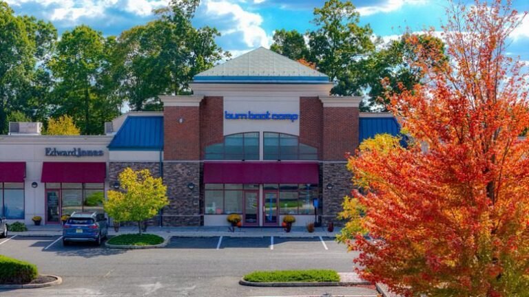
Local Businesses, Contractors & Commercial Property Owners
— You don't need a big-agency budget to look like a serious operation. Aerial and ground promotional content puts your brand in a different category than your competition entirely.
05
What Changes
When Your Visuals Finally
Do Their Job
Stress-Free
Deadline-Ready
01
— Listings get more visibility,
attract more buyers, and generate stronger marketing materials.
02
— Projects stay documented at every phase
— investors informed, decisions faster.
03
— Businesses look credible
and established — worth choosing over whoever's next.
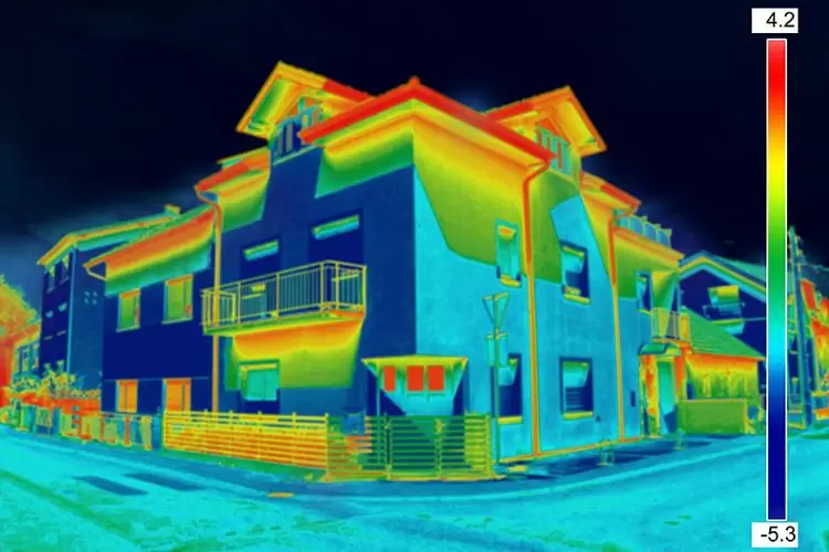
04
— Inspections go faster
and safer — thermal imaging catches what eyes and ladders miss.
05
— Complete aerial and ground
visual solutions — no juggling multiple vendors for one shoot.
Discipline and Precision Earned
in the Field — Not Learned
on YouTube
Stress-Free
Deadline-Ready
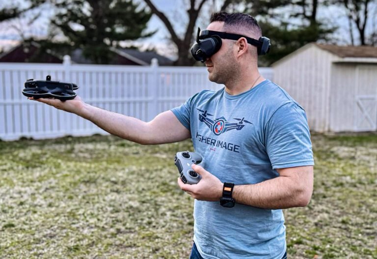
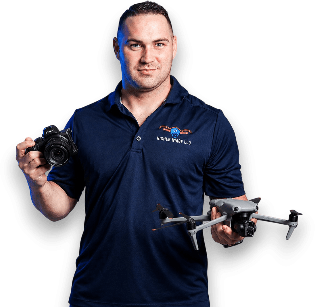
— Broc Johnson built
his drone expertise as an active police officer and U.S. Military Reservist member — where drone operations, aerial situational awareness, attention to detail, and professional accountability aren't optional.
— Those skills
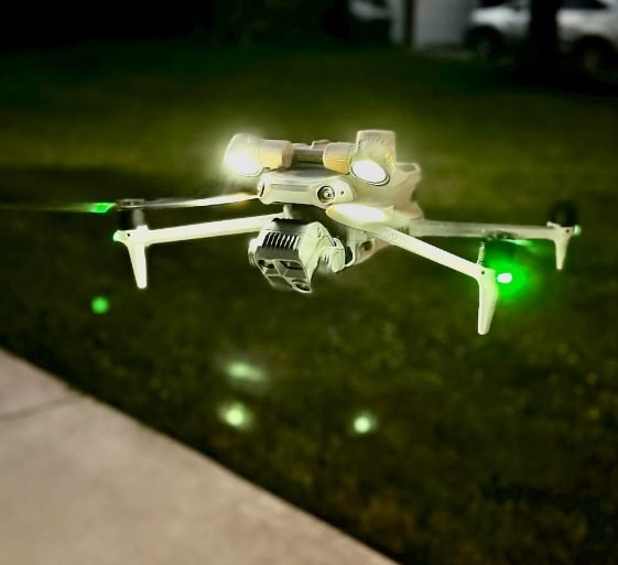
weren't learned for this business. They were brought into it. Reliable, high-quality results on every job — FAA Part 107 certified, fully insured, professional equipment throughout.
Most offer photos or video — not both, and rarely with aerial data services on top. Higher Image delivers complete aerial and ground visual solutions: cinematic storytelling, technical mapping, and drone inspections under one roof, operated by a reliable, licensed pilot with military and law enforcement precision.
Project-based, one-time pricing. Real estate photography $150–$400, drone add-ons $75–$150, cinematic videos $300–$700, FPV tours $250–$600, promotional videos $800–$1,500+, construction mapping $500–$2,000+. No retainers, no surprises.
★★★★★
testimonials
Their
Words
Properties, Projects, and Brands That transformed & Started Looking
What They're actually Worth.
“Higher Image does outstanding drone work. The quality of their aerial photography and video is excellent, and their team is professional, responsive, and easy to work with. I highly recommend them to anyone looking for high quality drone services.”
— Anthony Tenuto ★★★★★
review
“Broc did an amazing job with drone photos for our SERVPRO Team Fabiani ribbon cutting — the shots turned out so cool and he had them back to us super fast! He’s also been helping us with a building timelapse project and has been super reliable and professional. Highly recommend him!”
— Mia Carpenter ★★★★★
review
“Higher Image is the real deal! We lost our cat and Broc showed up the next day to conduct a thorough search with his drone. His equipment is top notch with thermal imaging capabilities and he is a certified professional. I cannot say enough great things about this company. If you lost a pet or need any of the other services they offer, Higher Image is hands down your best choice!”
— Keith B. ★★★★★
review
“Broc with higher image was very professional and made things a lot easier. He has helped us locate our dog and with other projects on the family’s property when it comes to scouting out the land. For your drone service needs Higher Image LLC is the way to go.”
— T Johnson ★★★★★
review
“Very Impressed with the images that were taken of my home. I will definitely be using higher Image again for more projects. If you are looking for professional Images of your home, Higher Image is the way to go.”
— Michael Johnson ★★★★★
review
“Higher Image is an amazing company! Broc is highly trained in his field and is always willing to help. If you need help with a drones, trust me he is your guy!”
— Melissa Guziewicz ★★★★★
review
“Recently worked with Higher Image, and I could not be more impressed. Very timely and professional. The aerial images of my house were beautiful. I will definitely be using Higher Image again soon.”
— Alyssa Kayati ★★★★★
review
“Very pleased with Higher Images drone work of home. Broc is very professional and takes pride in his work! I highly recommend!”
— Sarah Dougherty ★★★★★
review
“Higher Image provided great photos of my house as we were getting ready to sell! Great customer service and very professional!”
— Tyler Moreton ★★★★★
review
“Working with higher image couldn’t have been easier! Quick responses and turn around time on content will definitely be using them again in the future”
— Erin Kate Smith ★★★★★
review
“Broc made an amazing marketing video for our school. He was detailed, took the time to make sure we were satisfied with everything that went into this, and he had great ideas to bring our story to life. I have already recommended him to others, and will continue to do so. Absolutely use Broc and Higher Image!”
— Christine P. ★★★★★
review
08
Whatever Needs to Be Seen
— We'll Get It From the Right Angle
Aerial & Ground Solutions
24–48 Hr Delivery
Elevate How Your Property, Business, or Project Is Seen. acquire the edge & Optimize for Competition.
— Every listing, job site, and brand
has more to offer than generic visuals show. Powerful visual storytelling that elevates how your work is seen — and sets you apart in a competitive market — is one call away.
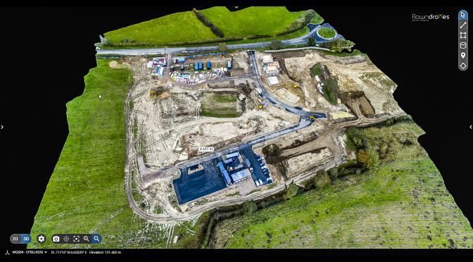
— Access your property or project
through a high-resolution, interactive 3D model. Inspect, measure, and explore every detail in real time—designed for clients, stakeholders, and decision-makers who need more than static visuals..
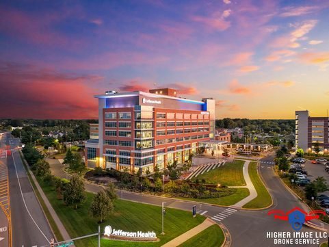
— From photos to
aerial and video, everything is captured in one professional shoot—delivered fast and ready to list. Give your property the visibility it needs to attract more buyers and stronger interest from day one.
—Higher Image LLC
provides complete aerial and ground visual solutions for properties, projects, and businesses that can’t afford to be overlooked. Built on precision, reliability, and fast turnaround, every shoot is designed to elevate how your work is seen.